Pueblo high of 80 marks final warm day before 30-degree drop
A cold front crosses Colorado on Friday, lowering Saturday highs to the 50s and bringing a higher chance of rain.
By Petra Murphy ·
Pueblo residents will experience a sharp shift in weather this weekend as a cold front crosses Colorado.
Friday, October 23, will be the warmest day of the week with a forecast high of 80 degrees and a low of 52 degrees. By Saturday, highs are expected to fall to the 50s, marking a 30-degree decline from the peak temperature reached on Friday.
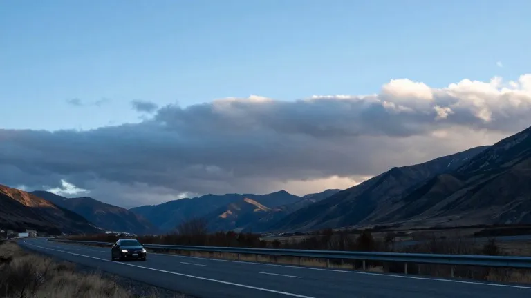
The change began with morning temperatures in the 50s and cloud cover that gradually cleared to allow sunshine by 10 a.m. along Interstate 25. The front, advancing from the west, is expected to increase cloud cover and generate storms farther south and east. Rain chances on the south side of Pueblo stand at 10% to 20% on Friday, but will rise substantially over the weekend.
Nearby areas will see varying conditions. Colorado Springs is forecast to reach a high of 73 degrees. Canon City may see afternoon showers with a high of 75 degrees, while Woodland Park will top out at 58 degrees. In the Tri-Lakes area around Monument, the high will be 69 degrees. Farther south, Walsenburg and Trinidad are expected to reach 73 and 74 degrees respectively, with both cities facing lows of 49 degrees. These southern locations will also see highs drop into the 50s by the weekend.
The eastern plains may see thunderstorms return by Friday evening after a sunny start, with afternoon temperatures in the 70s and 80s. Mountain areas will stay cooler with highs in the 60s and lows in the 30s. Flooding concerns remain in southwestern Colorado as water levels take time to recede.
Weather conditions are scheduled to calm next week. Forecasts indicate sunshine and partly cloudy skies with temperatures gradually warming into the 60s. The preliminary outlook for Halloween calls for dry weather and temperatures in the 50s and 60s.